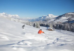
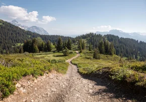
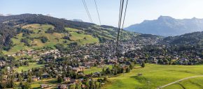
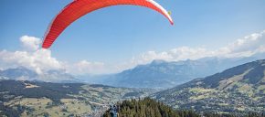
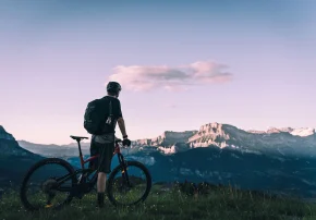
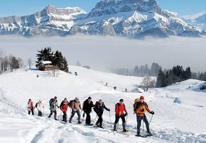
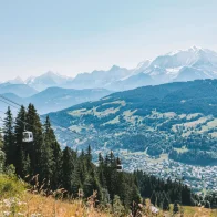
It offers an exceptional view of the Aravis and Mont-Blanc massifs.
A variant on the left leads to the Christomet (1853m) and the Oratory (30 min) which offers a breathtaking 360° view!
Topo / step by step0/ By car or on foot, start at the bottom of the Jaillet, follow the direction of the Jaillet gondola and Luge 4 Saisons then turn right to the Ball Trap car park.
1/ Walk towards the Cabane des Frasses (1625m).
2/ Rejoin the Tétras-Lyre path by the westbound connecting path.
3/ At the first crossroads on the left follow the direction of the Tétras-Lyre trail.
4/ The black grouse route approaches a small path which rises rapidly in the spruce forest.
5 / A “question/answer” terminal decorates the slope before the reading tables of the Chalet des Frasses.
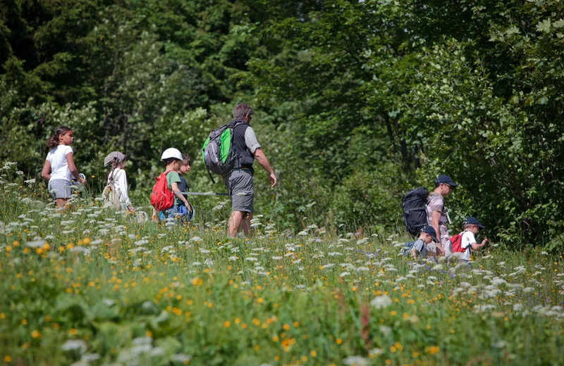
6/ The path then climbs up to a fork which leads to the moor with rhododendrons and blueberries.
7/ The path allows you to reach the ridge line and open up to the panorama.
8/ Then go back down to the forest to the Ball Trap.
Route details
Description
Walk towards the Cabane des Frasses (1625), join the Tétras-Lyre trail by the westbound connecting trail, at the first crossroads on the left follow the direction of the Tétras-Lyre trail.
The route of the black grouse approaches a small path which rises rapidly in the spruce forest. A “question/answer” terminal adorns the slope before the reading tables of the Chalet des Frasses.
The trail then climbs to a fork that leads to rhododendron and blueberry moorland. The path allows you to reach the ridge line and open up to the panorama before descending into the forest to the Ball Trap.


