


Balade : Le Planellet – Les Pettoreaux, par le Stepan
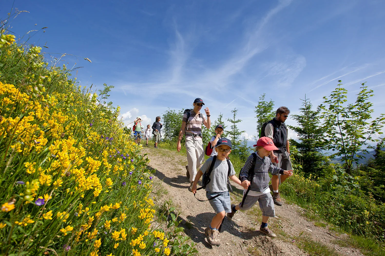
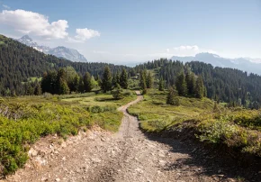
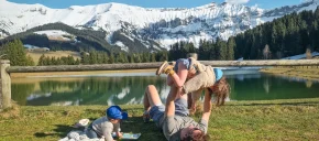
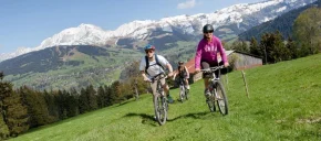
Pretty walk through mountain pastures and meadows, panoramic view of the golf course.
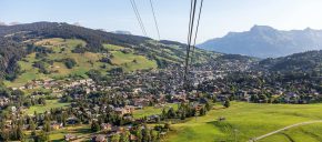
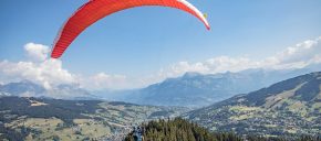
Exceptional view of the Val d'Arly and the village of Megève.
Exceptional view of the Val d'Arly and the village of Megève.
Tips and Suggestions
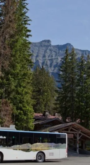
For the return, you can take the Meg-bus (timetables available at Megève Tourisme), either for the return to the car park, or to return to Megève (10 min).
Topo / step by step0/ Departing from the Mont D'arbois car park
1/ Follow the Mont d'Arbois sign via the Tour du Mont Blanc variant.
2/ Take the route “Les Pettoreaux via le Stepan (50 min)”. Pretty path that winds through the meadows, panoramic view of the golf course.
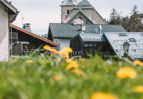
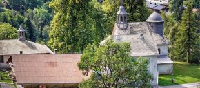
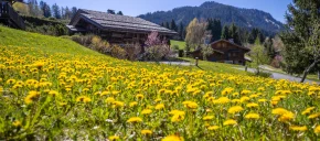
3/ The path becomes a dirt road which descends towards the hamlet of Pettoreaux.
4/ Cross this hamlet and join the departmental road.
5/ Go back down to Megève via Chemin du Gollet, on the other side of the road (15min) or take the shuttle either towards the village or towards the Parking du Mont d'Arbois.
Route details
Description
Follow the Mont d'Arbois sign via the Tour du Mont Blanc variant. Take the route “Les Pettoreaux via Le Stepan (50 min)”. Pretty path that winds through the meadows, panoramic view of the golf course. The path becomes a dirt road that descends towards the hamlet of Pettoreaux.
Cross this hamlet and join the departmental road, then go down to Megève by the chemin du Gollet, on the other side of the road (15min).
Cross this hamlet and join the departmental road, then go down to Megève by the chemin du Gollet, on the other side of the road (15min).