0/ From the Mont d'Arbois gondola, on foot, continue the road towards the village of Planellet.
1/ Follow the “Mont d'Arbois” signs via the Tour du Mont Blanc variant (yellow and red).
2/ From the upper station of the Gondola take the path which runs alongside the “Idéal 1850” restaurant.
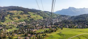
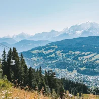
3/ Follow the line of ridges which passes close to the Bettex cable car and rises towards Mont Joux. Exceptional view of Mont Blanc, the Aravis, Val d'Arly and the Arve Valley.
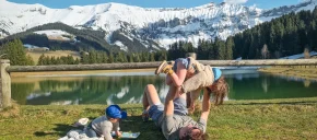
4/ From Mont Joux (1958 m), head below towards the chalets of Joux then the Lac de Joux.
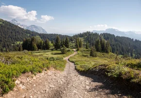
5/ Follow the direction of Megève, enter the forest to the Alpages de Tornay Haut (1620).
6/ Continue on a path to the Hameau du Planellet.
7/ From this hamlet, walk to the Mont d'Arbois cable car via the Edmond de Rothschild road (around 10 minutes).
Route details
Description
From the upper station of the Gondola take the path which runs alongside the “Idéal 1850” restaurant. Follow the line of ridges which passes near the Bettex cable car rising towards Mont Joux. Exceptional viewpoint over Mont Blanc, the Aravis, the Val d'Arly and the Arve Valley.
From Mont Joux (1958 m), head below towards the chalets of Joux then the Lac de Joux follow the direction of Megève, enter the forest to the Alpages de Tornay Haut (1620), continue on a path to the Hameau du Planellet.
From this hamlet, walk to the Mont d'Arbois cable car via the Edmond de Rothschild road (around 10 minutes).


