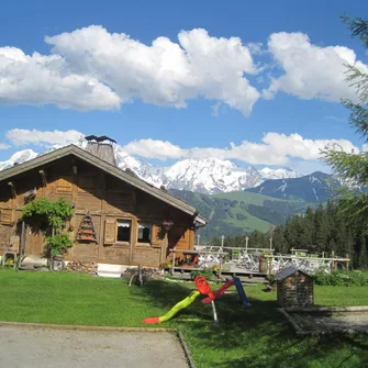

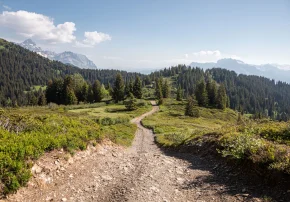


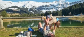


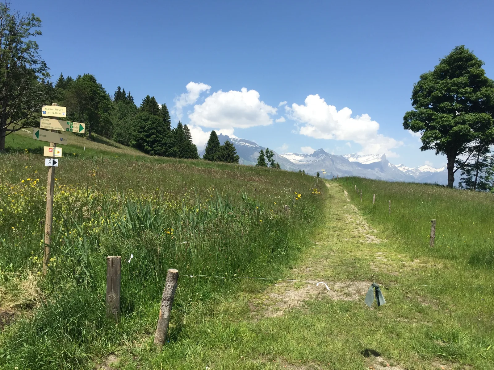
1/ From the top station of the gondola, follow the route towards La P'tite Ravine (restaurant) then Chalet de la Vieille, beginning in mountain pastures and ending in undergrowth. At the Chalet de la Vieille turn immediately right along the path towards La Fouettaz.
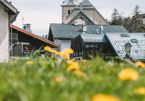
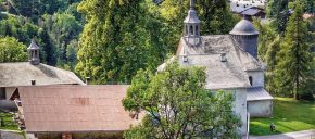
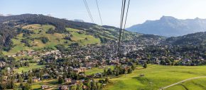
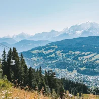
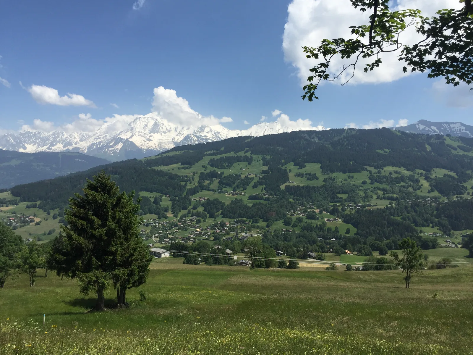
2/Once on the paved road on the right, admire the village of Megève and join the Fouettaz car park, follow the path on your right towards Odier. Admire the oratory on your left.
3/Continue to the right until the hamlet of Odier
4/Turn right again on the path which will then take you to Chemin d'Allard on your left.
5/ Return to the start of the gondola by the paved road.
Another possibility:
Starting point: La Fouettaz car park (1249m). Total duration: 2 hours.
Go to the “Rocher” (1310m), pass through the Alpage du Rocher and continue towards the Chalet de la Vieille.
Return via “Fontaine Désir”.
Route details
Description
Once on the paved road on the right, admire the village of Megève and join the Fouettaz car park, follow the path on your right towards Odier. Admire the oratory on your left.
Continue to the right until the hamlet of Odier, turn right again on the path which will then take you to the Chemin d'Allard on your left. Return to the start of the gondola by the paved road.
Another possibility:
Starting point: La Fouettaz car park (1249m). Total duration: 2 hours.
Go to the “Rocher” (1310m), pass through the Alpage du Rocher and continue towards the Chalet de la Vieille.
Return via “Fontaine Désir”.
Linked offers